


MSP research will promote the implementation of real and effective maritime space use planning and contribute to the long-term management of the Thai Seas in a balanced and sustainable manner.
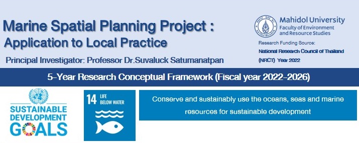
Marine Spatial Planning: Application to local practices
share :
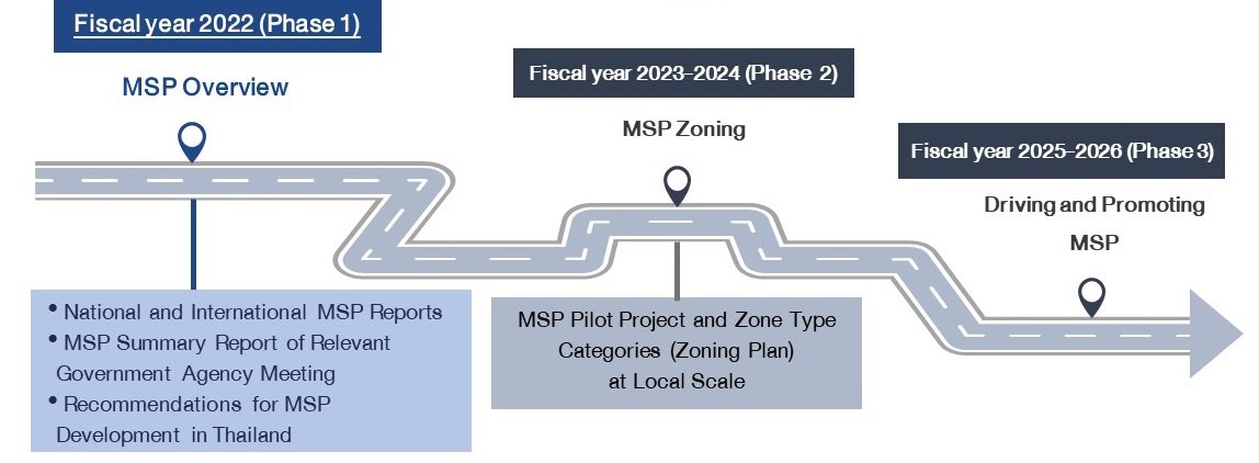
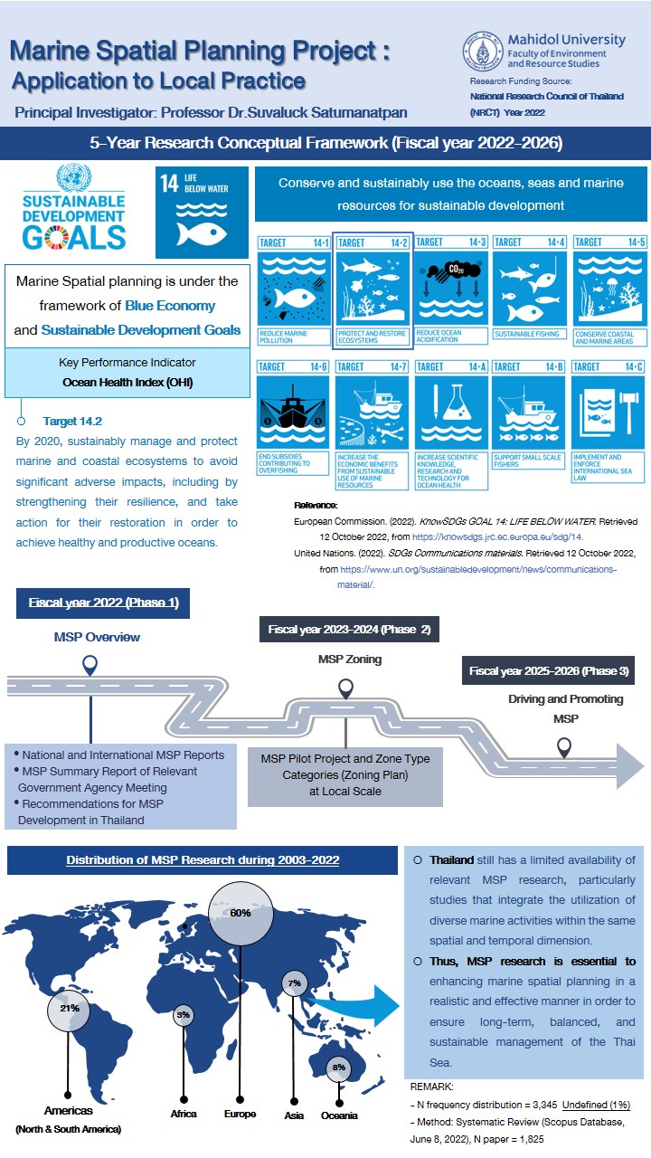
The project entitled Marine Spatial Planning: Application to local practices supported by The National Research Agency under Program 7 of the second platform (Research and innovation to tackle social concerns), which intended to address challenges and promote sustainable development in natural resources. In its inaugural year, a research fund was allocated to the Environment and Agriculture blue economy research and innovation initiative (budget 2022, budget 1,090,000 baht). The project has a five-year research framework from 2022 to 2026, comprised of the following three phases:
1) The first phase (fiscal year 2022) commences with worldwide and national Marine Spatial Planning (MSP) information collection from an international database (the Scopus database). This contains details from pertinent studies conducted in Thailand. A procedure for the exchange of opinions between academic departments and relevant agencies was also established. This results in recommendations and guidelines for marine area utilization planning. The researcher expects that a portion of the proposal will drive the implementation of national and pilot site-level marine use planning, while another portion will guide research and capacity-building training for individuals engaged.
2) During the second phase of the research framework (fiscal year 2023–2024), accelerating the implementation of land use planning at the national and pilot site levels is required. It will collect secondary data on the status of marine resources and marine utilization activities in 23 coastal provinces in the Gulf of Thailand and the Andaman Sea in order to develop a map depicting the biodiversity of resources and marine ecosystems, the status of resources and their utilization at sea, and to categorize the use of marine areas at the national level. The marine area use categorization procedure was then implemented at the national level to identify one marine area use in each of the pilot areas in the Gulf of Thailand and the Andaman Seas. This included an analysis of the correspondence between the use zone of the pilot area and the national marine area use category by allowing relevant individuals to participate in providing information, verifying the completeness of the information, and expressing their opinions on the types of established marine area utilization.
3) The third phase (fiscal year 2025–2026) consists of a research framework that encourages the expansion of marine area use planning in new coastal regions. (that are prepared to) provide training to strengthen the ability of people involved in the use of methodologies for marine area utilization planning and to establish processes that will drive the creation of policies and strategies.

Partners/Stakeholders
- Advisory and Knowledge Management Sub-Committee for National Maritime Benefits (ACAC) to drive policy action. Through the Maritime National Interest Policy Committee (NAP)
- Relevant agencies at the area level, such as the Provincial Marine and Coastal Resources Office Provincial Marine and Coastal Resources Committee Provincial Fisheries Committee and the provincial maritime national interest administration center
ผู้ดำเนินการหลัก
Professor Dr. Suvaluck Satumanatpan
ส่วนงานหลัก
ผู้ดำเนินการร่วม
1. Faculty of Science, Prince of Songkla University (Dr.SAKANAN PLATHONG) / 2. Research Center for Coastal Zone and islands, First Institute of Oceanography, Ministry of Natural Resources, Qingdao, China (Dr. Zhiwei Zhang)
This website values privacy. To give you a good experience on our website If you use this website
Without any adjustments, you are agreeing to our use of cookies and our privacy notice.
More details